Work

Shipped and in use

CREDENTIAL

Enterprise planning platform

Architected an enterprise planning platform from scratch for a large real estate investment firm.

PAST CLIENT

Civico

Project modeling and presentation services: development and project finance, including LIHTC.

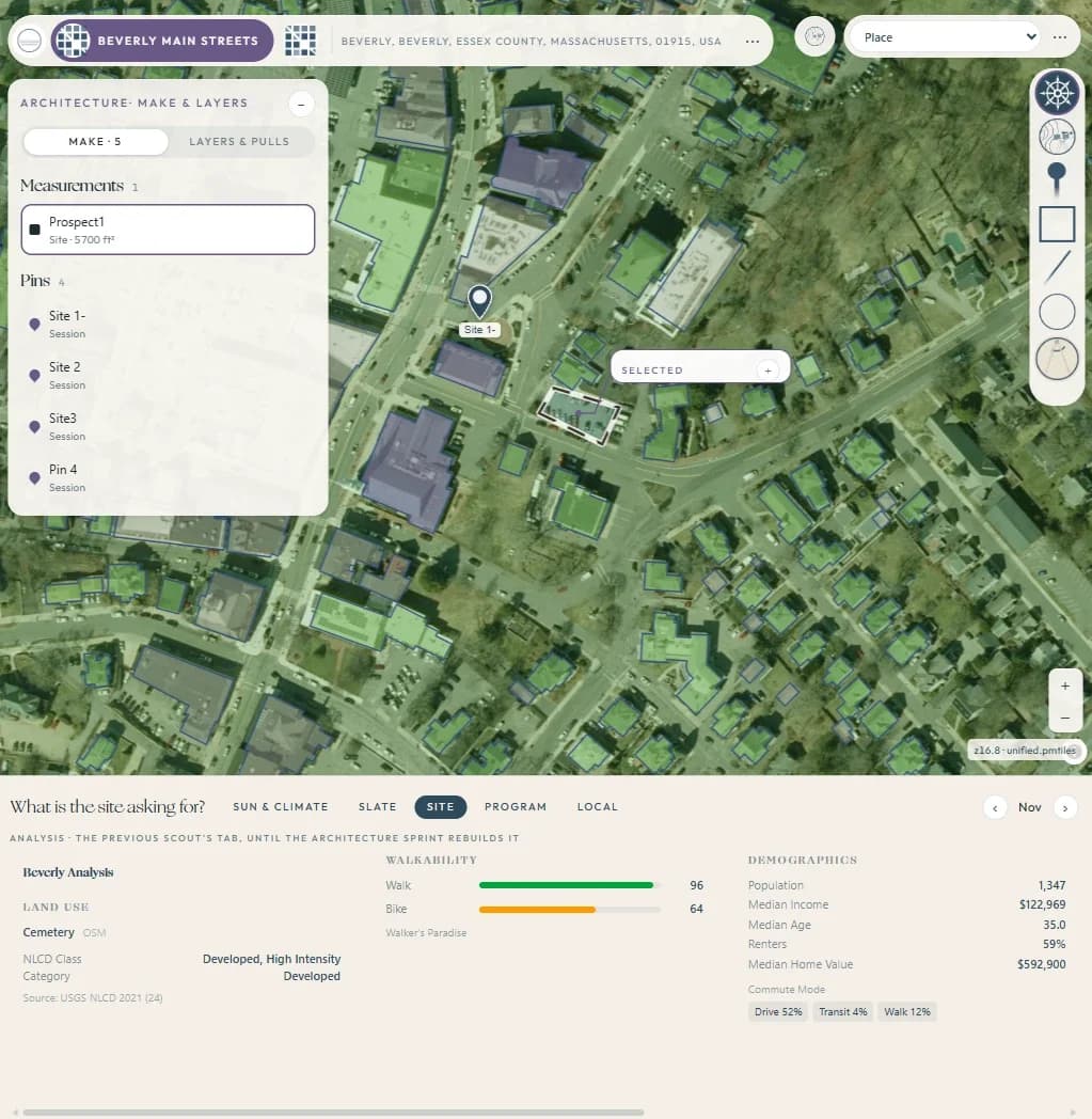
Arctelia site study in downtown Beverly: building footprints over aerial imagery, a measured 5,700 sq ft prospect parcel, scouting pins, and a site panel with land use, walkability and demographics
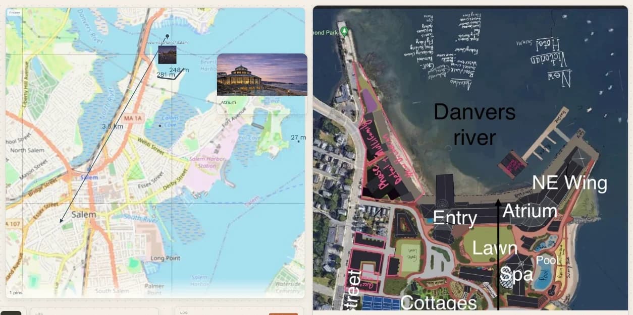
Arctelia scribble board for a waterfront hospitality redevelopment: a measured street map beside a marked-up aerial plan laying out entry, atrium, lawn, spa, pool, cottages and a new wing
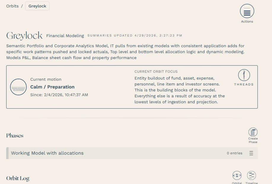
Arctelia project page for a portfolio and corporate analytics model: its description, current motion, focus on entity buildout, and phases
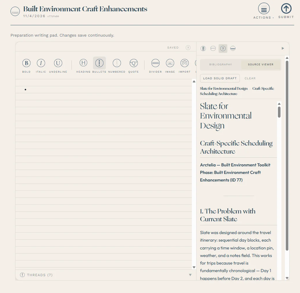
Arctelia writing pad with a source viewer showing a built-environment planning document

SYSTEM · LIVE AT ARCTELIA.APP

Arctelia: a place-and-context engine

The problem. What people know about a place (its maps, measurements, conditions and history) lives in a dozen disconnected tools, and the reasoning behind each decision gets lost between sessions.

What we built. A full-stack platform that ties a place to its record: measured site studies over aerial imagery, a geospatial layer built on public data, session logging, and AI guidance grounded in the user's own history rather than generic advice.

Why it matters. It's the same discipline a development or asset team needs: read the site, keep one record, and turn it into a decision people can defend.

BUILT TO PRODUCTION STANDARD

  • Row-level security throughout
  • 194 database migrations
  • 234 automated test files
  • Stripe billing
  • ~24-tool MCP connector with OAuth 2.1