Environments

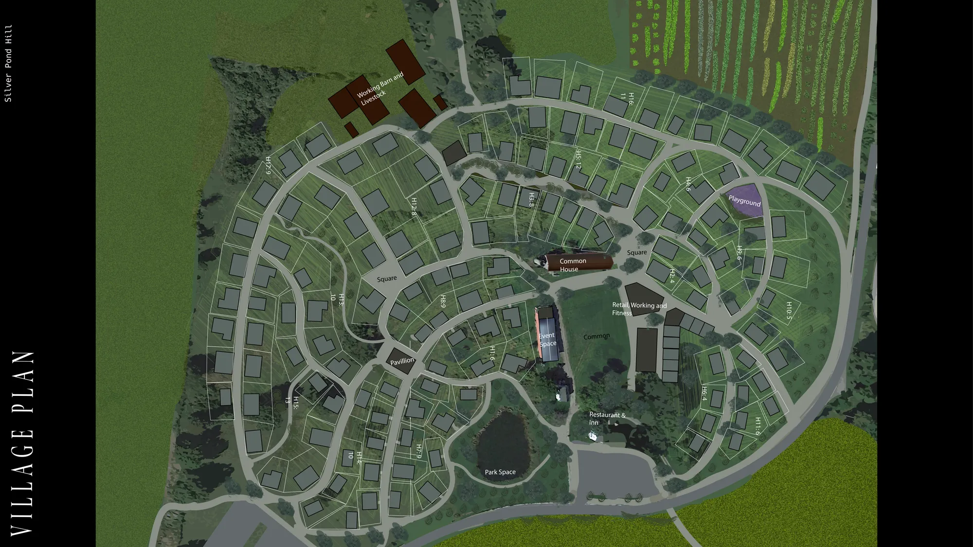
The lay of the land

Zoning, site selection and feasibility for owners, developers and investors. Working out what a site can be before anyone models what it's worth.

Zoning & entitlements

What the rules allow on a parcel, and what it would take to do more.

  • By-right capacity: use, height, density, setbacks and parking
  • Overlay districts and local bylaw review
  • Variance, special-permit and rezoning paths
  • Entitlement timelines and approval risk

FIXED FEE
Site selection

Finding the right site with criteria you can explain to an investment committee.

  • Parcel search and screening against your criteria
  • Demographics, access, walkability and market data
  • Scored shortlists you can compare side by side
  • Environmental, flood and land-use checks

FIXED FEE

Feasibility

Whether a site works before money is spent on design.

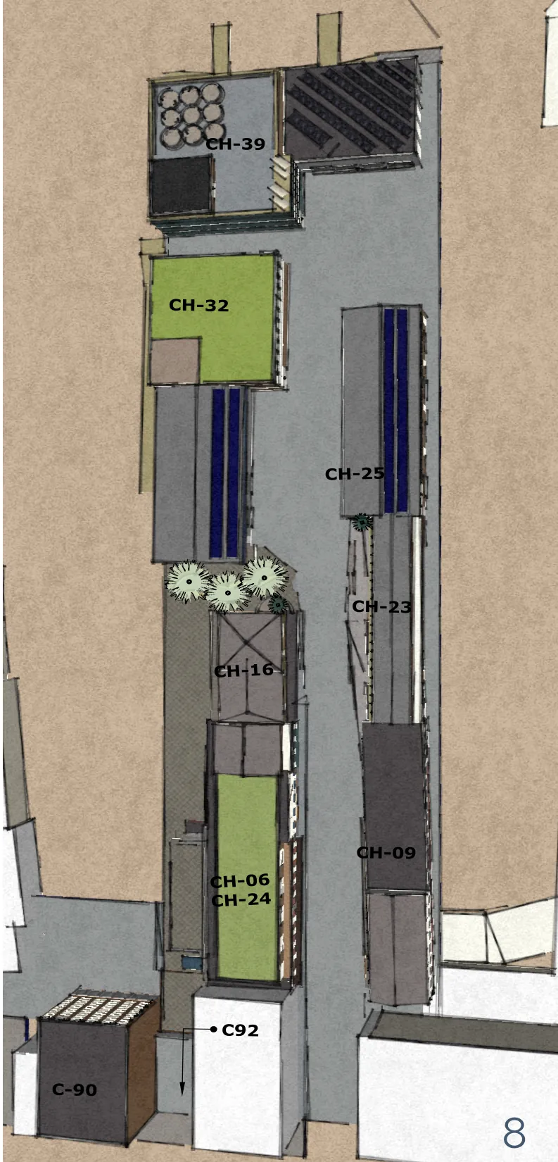
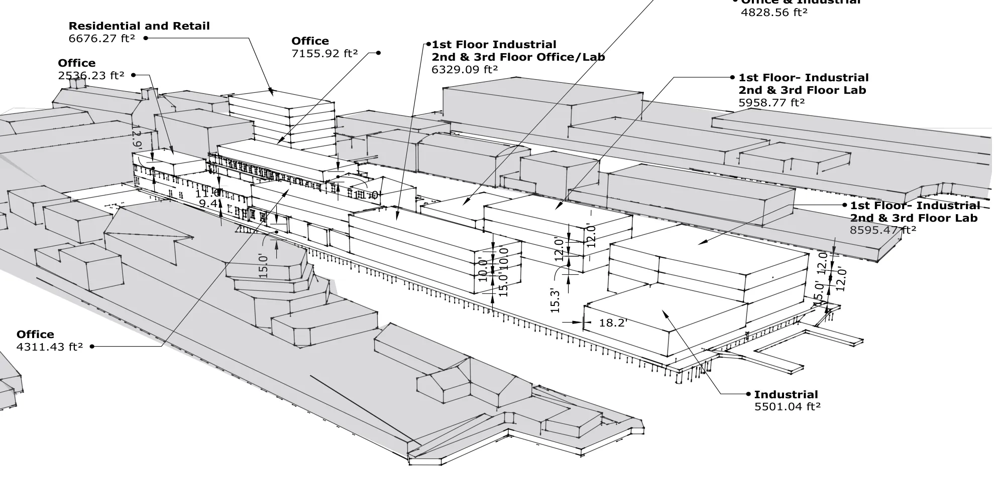
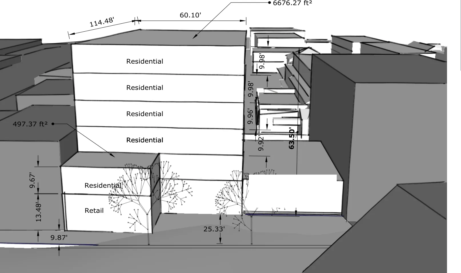
  • Massing and yield tests from the zoning envelope
  • Highest-and-best-use comparisons
  • Land residual and quick pro formas tied to the yield
  • Go / no-go summaries for acquisition decisions

FIXED FEE

Feeds straight into the model

Zoning yield and site data carry into underwriting and the pro forma, so the numbers start from what the site can actually hold.

FROM A STUDY

OUR OWN TOOL · CONSUMER PLATFORM

Arctelia

A live consumer platform, Arctelia keeps a record of environmental, qualitative, site and systems context, and works seamlessly with AI guidance. It's how Arc & Bearing reads a place: site analysis, mapping and measured studies in one record.

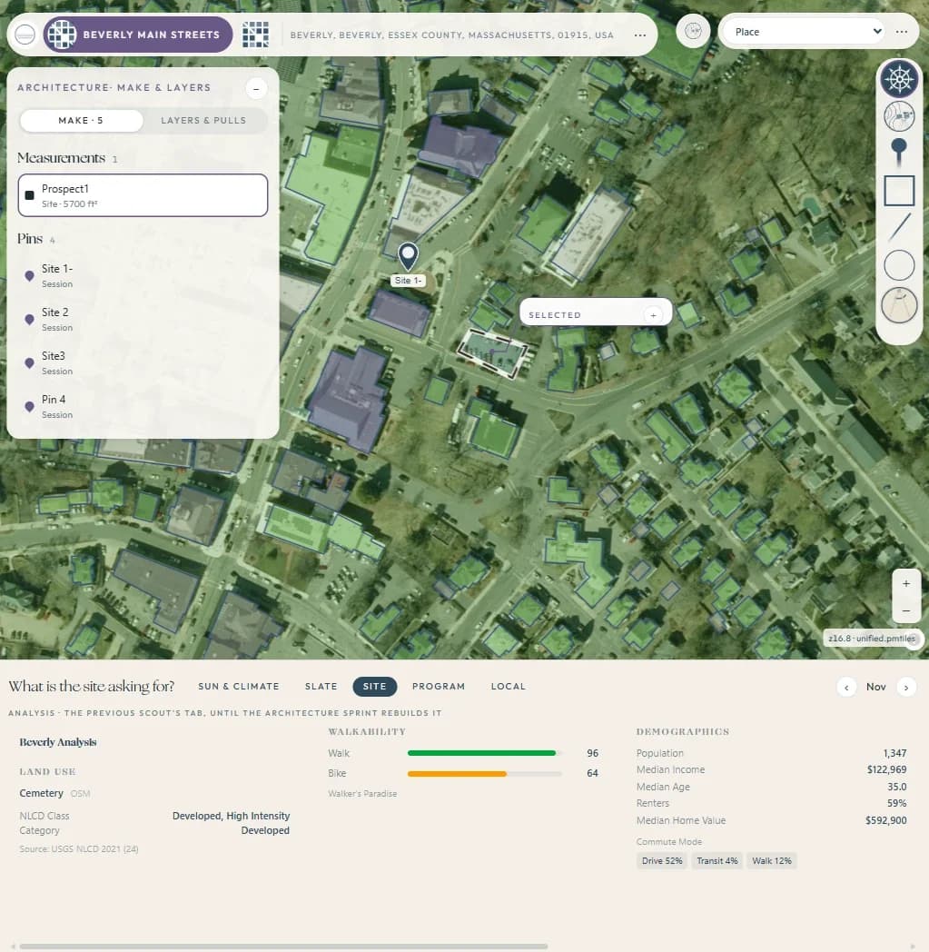
Arctelia site study in downtown Beverly: building footprints over aerial imagery, a measured 5,700 sq ft prospect parcel, scouting pins, and a site panel with land use, walkability and demographics
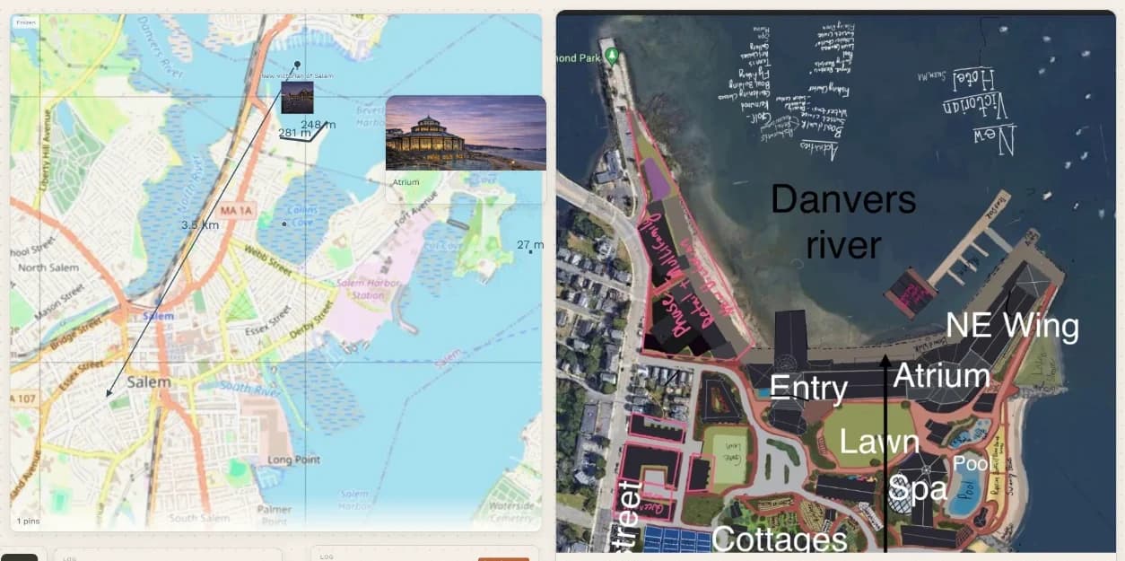
Arctelia scribble board for a waterfront hospitality redevelopment: a measured street map beside a marked-up aerial plan laying out entry, atrium, lawn, spa, pool, cottages and a new wing
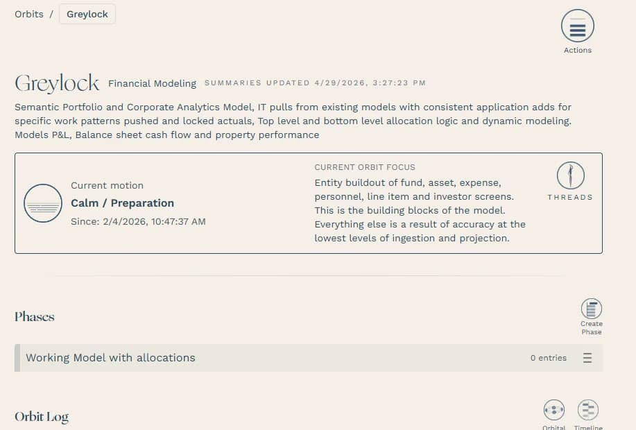
Arctelia project page for a portfolio and corporate analytics model: its description, current motion, focus on entity buildout, and phases
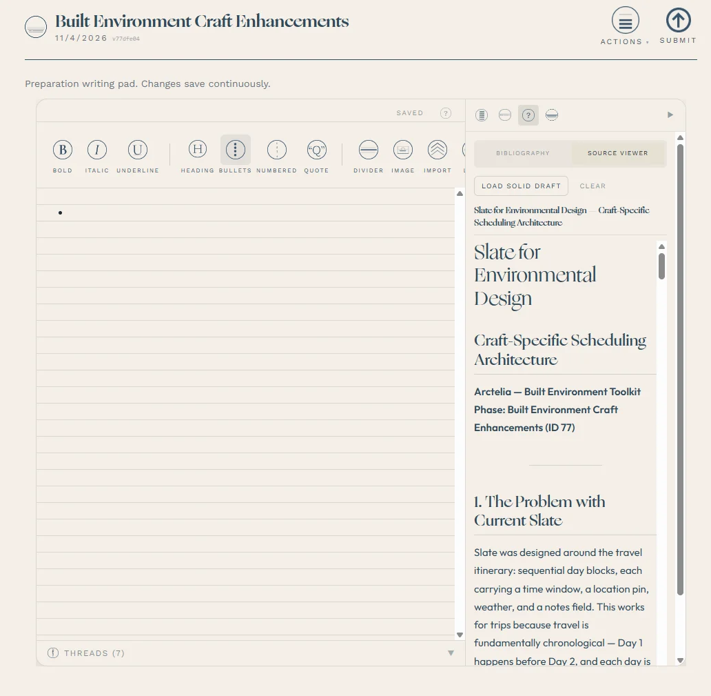
Arctelia writing pad with a source viewer showing a built-environment planning document

SYSTEM · LIVE AT ARCTELIA.APP

Arctelia: a place-and-context engine

The problem. What people know about a place (its maps, measurements, conditions and history) lives in a dozen disconnected tools, and the reasoning behind each decision gets lost between sessions.

What was built. A full-stack platform that ties a place to its record: measured site studies over aerial imagery, a geospatial layer built on public data, session logging, and AI guidance grounded in the user's own history rather than generic advice.

Why it matters. It's the same discipline a development or asset team needs: read the site, keep one record, and turn it into a decision people can defend.

BUILT TO PRODUCTION STANDARD

  • Row-level security throughout
  • 194 database migrations
  • 234 automated test files
  • Stripe billing
  • ~24-tool MCP connector with OAuth 2.1